
Apple Maps Teams are Walking Around Toronto, Montreal, Vancouver with Special Backpacks
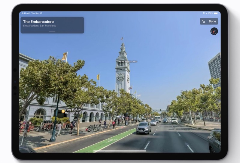
Apple announced recently its Apple Maps teams will be walking through Canadian cities to add pedestrian data, during September and October.
According to the iPhone maker last week, teams will be walking through Toronto, Montreal and Vancouver wearing specialized backpacks with equipment to “help us build the best digital map of Canada.”
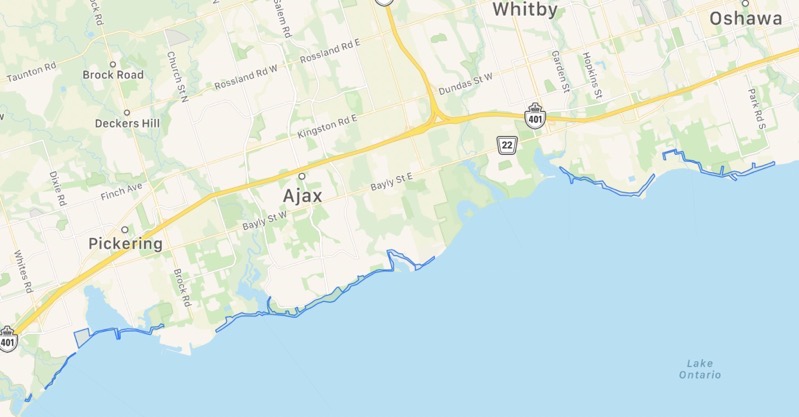
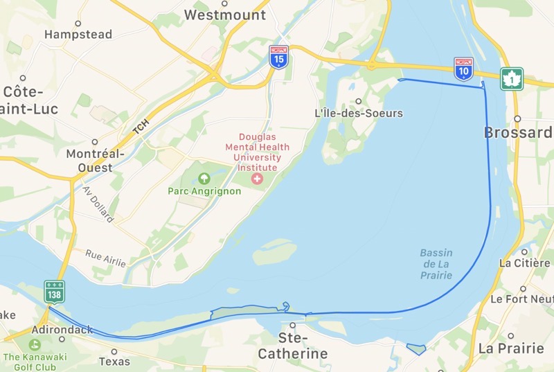
You can check out the areas for each city below, with walking surveys starting from September 11 through October 31, 2021.
Vancouver, BC
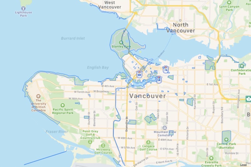
Durham Regional Municipality, Toronto, Ontario
Quebec
Longueuil Regional County Municipality
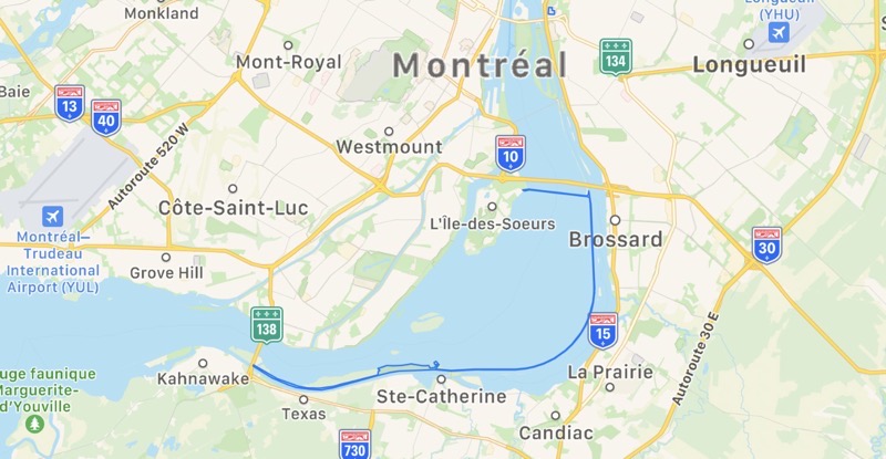
Montréal Regional County Municipality
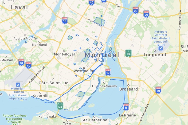
Roussillon Regional County Municipality
“Some pedestrian surveys use a backpack system to collect data that may be used directly in Apple Maps, such as in the Look Around feature. Other pedestrian surveys use iPads, iPhones or other devices to collect data for map improvement purposes. These pedestrian surveys allow us to improve and update Apple Maps in areas where vehicles simply can’t go while using the same privacy protections as the Apple Maps vehicles,” explains Apple’s recently updated Canadian maps page.
Essentially, the walking surveys allow Apple to record imagery for Look Around that cars cannot access. While recording data for these three major Canadian cities is a start, Apple still has more work to catch up to Google Maps.
Recently, Apple Maps teams finished ground surveys across Canada, recording from May to August 31, 2021. Back in December 2020, Apple officially launched its new and improved Apple Maps for Canadians.
Thanks Darren J
