Google Maps for iOS Gains Real-Time Commute Info and Places Around You
Google Maps for iOS has gained an update where it now has one-tap info to real-time info at the bottom home screen. Previously, this launched first on Android last year, but the feature is now available for iOS users.

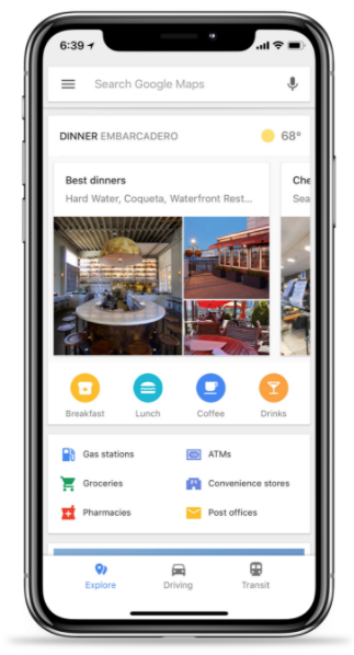
To get started, all you have to do is swipe up and you’ll now see three tabs: Explore, Driving and Transit. These tabs will help you quickly find local places, fastest routes and also bus information.
The integration of Explore data right within Maps, saves users from launching a separate Google search, and just gives you all the relevant points of interest available, with shortcuts to popular categories such as gas stations, ATMs, post offices, pharmacies and more.
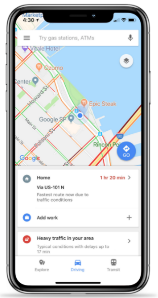
The Driving tab shows your fastest way home and also provides traffic data as well:
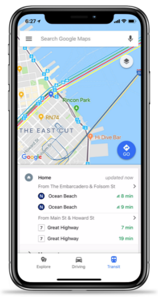
The Transit tab shows stations nearby and also lists departure times:
We can confirm these new features are working in Canada for iOS users as well. With all the added features of Google Maps, I’m never going back to Apple Maps, ever.
Click here to download Google Maps for iOS in the App Store.
