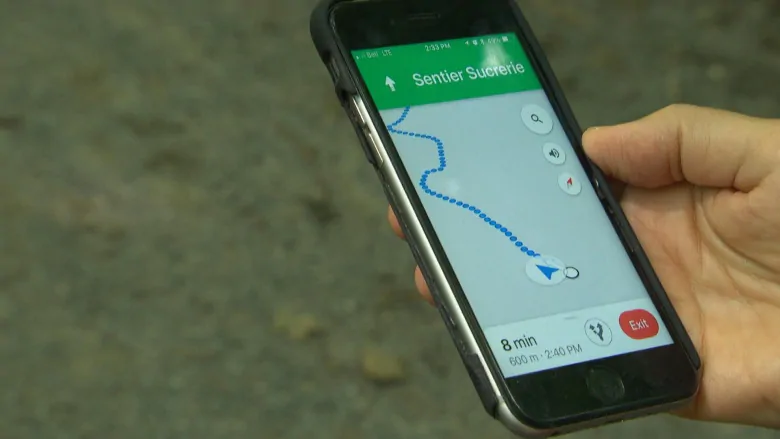
Gatineau Park Hikers Led Astray by Smartphone Map Directions [u]

A number of hikers who heavily rely on their cell phones to get around Gatineau Park have been getting lost, which is a trend that is starting to worry park staff. In a statement, a tour guide from Great Canadian Trails Nathalie Gauthier said:
“It’s a growing problem. I think that people forget that their phones have limitations.”
Gauthier noted that a number of factors, including poor reception and drained batteries, have led hikers down the wrong path. This puts the hiker in more danger, especially given that mobile applications rarely have information about more challenging terrain.
Paquette is encouraging hikers of all experience levels to pick up a physical copy of the park map at the visitor centre before venturing off on a hike. In a statement, the park’s program officer Rachel Paquette said:
“We encourage people to have the paper version of the Gatineau Park trail map.
All of a sudden if your GPS isn’t working, you may get lost. Once you get lost it’s a lot harder for us to find you. It will also be a lot harder for you to tell us where you are.”
Many hikers are now starting to get physical copies of the park map, as relying on a cellphone is not the best idea when you are in such terrain.
[via CBC News]

