Apple Maps Adds Windsor Transit Data for Ontario [u]
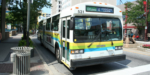
Apple Maps has been updated to include transit data for Windsor, Ontario, supplied by Transit Windsor. The update was made on the Apple Maps Acknowledgements website earlier this week (which also included the addition of Houston Transit data for those in Texas).

Currently, the following Canadian transit data or sources are used by Apple Maps:
- Department of Natural Resources Canada
- Statistics Canada
- Brampton transit data
- Burlington transit data
- Grand River Transit data
- Guelph Transit data
- Hamilton Street Railways public sector data
- Ontario transit data (Metrolinx)
- MiWay transit data from the City of Mississauga
- Niagara Region
- Oakville Transit
- Toronto Transit
- Montreal transit data (AMT)
- BC Transit
- Vancouver (Translink)
- NEW: Windsor
Update: While Windsor Transit Data has been added, when attempting to route transit in Apple Maps, it still says “Transit Directions Not Available”. But the fact transit data has been added is a good sign support will be coming soon.
When Transit View in Apple Maps launched in Canada In 2015, Toronto was the only Canadian city to gain the feature, but that has since expanded.
With powerful apps such as Transit offering real-time bus times (through crowdsourcing), I’m not sure why you would opt to use Apple Maps for transit directions, aside from the app’s integration with iOS.

