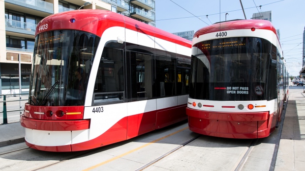
Google Maps Gets Real-Time Transit Updates For The TTC

Torontonians now have access to real-time transit information for the Toronto Transit Commission (TTC) from Google Maps. Real-time transit info on Google Maps is available on both iOS and Android, giving users more accurate and timely information.
Google Maps can now direct users using the most optimal route based on current transit conditions. This can be a very helpful tool, and if you’ve ever used the TTC you’ll know I’m right.
The service will also update users in real-time about arrival times and any service disruptions that happen as the user is on-route.
Google said that during the last six months, the most popular questions about the TTC were: “How to plan a TTC trip?” while other popular searches are, “When is the next TTC bus?” and “Where is my streetcar?”
[via MobileSyrup]

