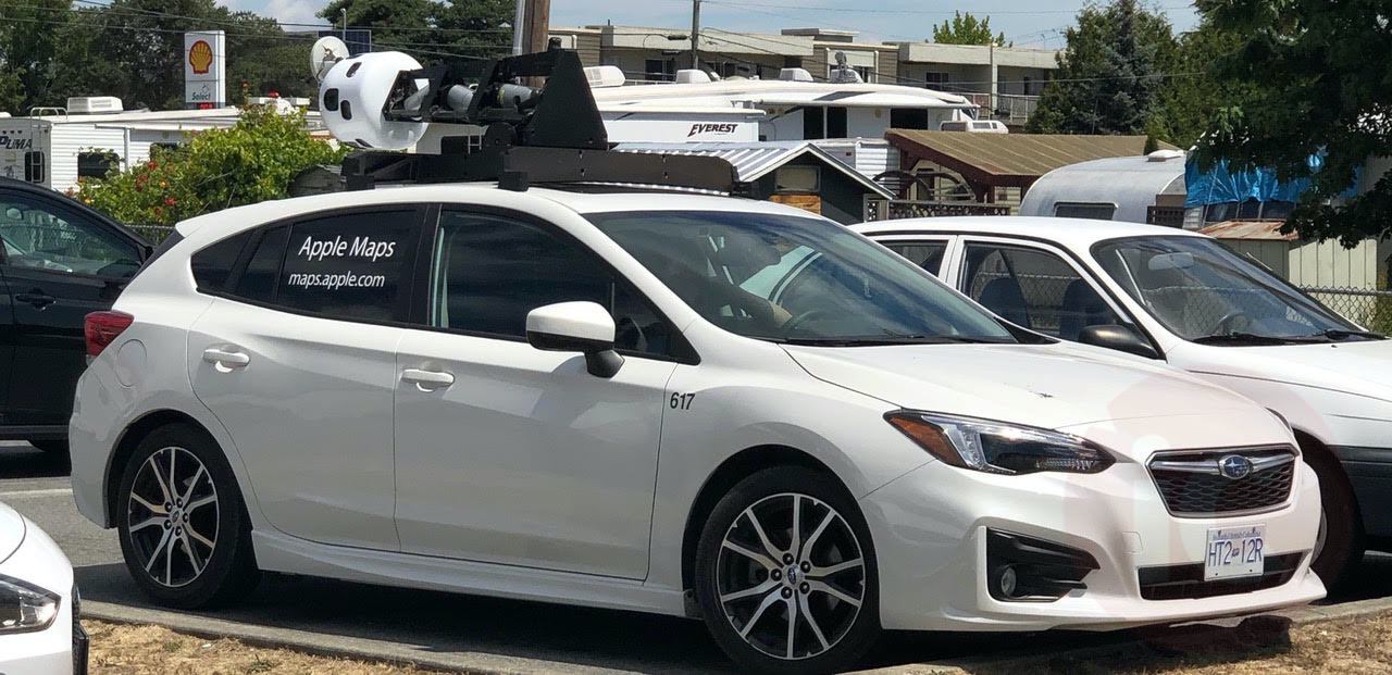
Apple Maps Car previously spotted in Victoria, B.C.
Back in May, Apple announced it would be driving across Canada this summer to improve Apple Maps, by “capturing road details, signage and landmarks — all to make the most accurate and useful Maps experience possible.”
This map data looks to be implemented in an upcoming feature in iOS 13 called Look Around, or essentially Apple’s version of Google Street View.
Apple Maps vehicles have been spotted in Victoria, Vancouver, and Toronto, for example, while other sightings have occurred throughout B.C., Alberta, Manitoba and Ontario.
The latest sighting of an Apple Maps car was in Huntsville, Ontario, as noted by iPhone in Canada reader Nick Sewell.
Apple detailed a vast number of cities it planned to record imagery in this summer, noting numerous locations in provinces such as Manitoba, Saskatchewan, New Brunswick, Newfoundland and Labrador and Nova Scotia.
Summer ends officially on September 23, so it’s unclear if Apple Maps vehicles will continue their capturing into the fall. Let us know where you’ve seen Apple Maps vehicles as of late.
Apple is set to hold a special event on September 10, where it will most likely unveil this year’s iPhone line up and also announce release dates for iOS 13.


